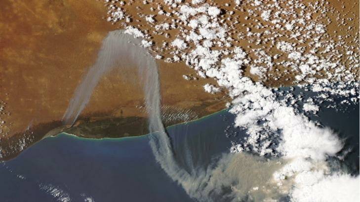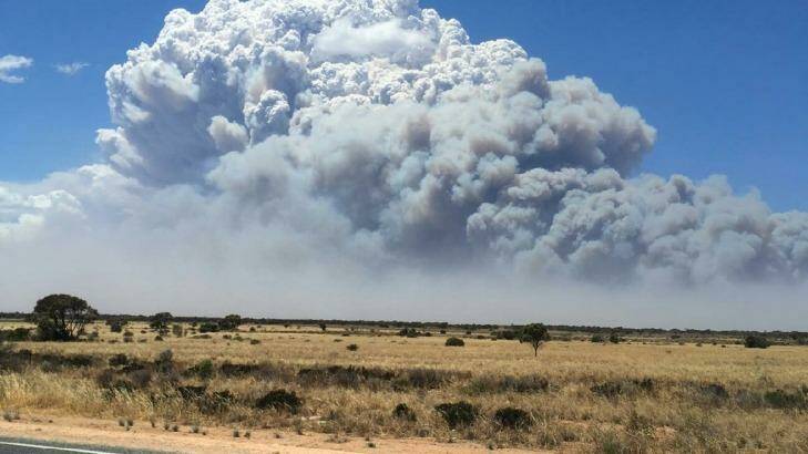


As fire-fighters brace for a high-risk bushfire season, a fire that forced the closure of a major highway the Nullarbor several days ago was visible from space.
The blaze, which destroyed more than 50,000 hectares, was sparked by lightning near Cocklebiddy on December 3.
It took fire-fighters 12 days to extinguish the fire, with the Department of Parks and Wildlife declaring the fire 'out' on Thursday morning.
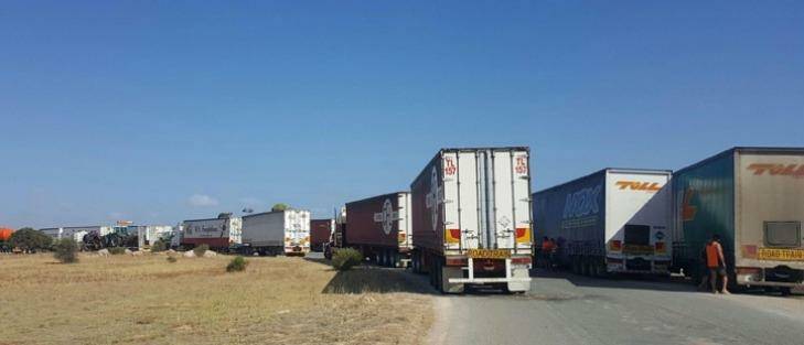
Eyre Highway near the West Australian and South Australian border had to closed twice on December 7 and 12 due to separate fires along the highway, with hundreds of travellers and truckies stranded for hours at roadblocks.
At one point on December 7, the fire came close to jumping the highway, with drivers describing the "pretty hairy" moment they only just made it through the thick smoke and poor visibility to reach Cocklebiddy Roadhouse.
A NASA satellite picked up images of the smoke from the fires blowing toward the ocean before doubling-back to land.
The area where the blazes took hold are being monitored to ensure no further flare-ups, with containment lines established to reduce the risk of another blaze threatening homes and motorists.
In an outlook report, the Bushfires and Natural Hazards Cooperative Research Centre predicted the area would encounter "above normal" bushfire risk this season, with Perth and coastal areas of the South-West, Gascoyne and Pilbara also expected to have above normal fire potential.
"In the South West, despite early and close to average rainfall, there is an underlying long-term deficit in the soil moisture," the report said.
"The recent bushfires and prescribed burning have reduced fuel loads in localised areas.
"However, on the landscape scale, the current high loads of forest fuels have resulted in above normal fire potential."
Are you bushfire ready? Visit www.emergency.wa.gov.au/prepare to prepare now.

