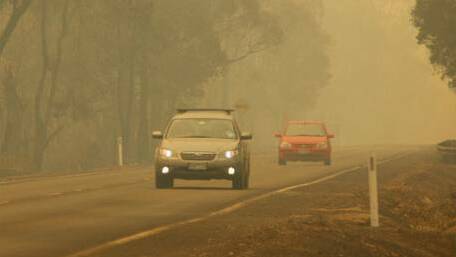
The Parks and Wildlife Service at the Department of Biodiversity, Conservation and Attractions is today conducting prescribed burns at the following locations to manage bushfire risk and biodiversity.
- 23km east of Jerramungup
- 4km north of Margaret River
- 7km south-west of Bridgetown
- 5km east-south-east of Kirup
- 20km south-east of Busselton
- 40km north-east of Manjimup
- 45km east-north-east of Manjimup
Motorists should take care, turn on headlights and carefully follow traffic management signs when driving through areas affected by smoke.
People with conditions exacerbated by smoke should take precautions in line with their medical advice for these circumstances.
Prescribed burns create low-fuel areas in a mosaic of burnt and unburnt patches across the landscape, which help stem the spread of bushfires.
It is the primary tool available to the department to manage fuel loads, which helps protect the community by minimising the impact of bushfires.
Prescribed burning may be conducted by multiple government agencies and private landowners as part of our shared responsibility for keeping communities safe.
Videos highlighting the extensive planning that goes into the department's prescribed burning program can be viewed by visiting dbca.wa.gov.au/prescribedburning.

